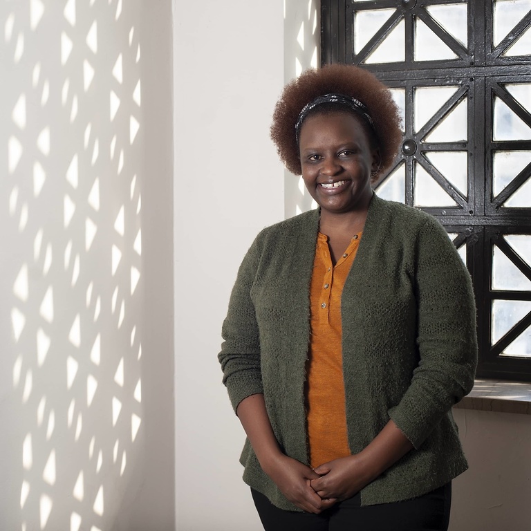
Barbara Kagima
A significant part of my identity is based on the fact that my family migrated to the United States (Ames, Iowa) from Kenya when I was in grade school. I call two places home, Kenya and Iowa. Therefore, my work and career focus on maintaining my link back to Kenya. I completed my B.S. and M.S. at Iowa State University. During my M.S., I learned how to use Geographic Information System (GIS) tools to analyze patterns in geographic data. I mapped movement patterns of Bison and Elk in a prairie reconstruction project at Neal Smith National Wildlife Refuge near Des Moines. From there, every project I worked on has been linked to GIS. I love being able to show patterns in data and more importantly, try to understand why those patterns happen. I was fortunate to spend four years in Kenya working as a GIS technician on projects ranging from food security patterns in urban informal settlements in Nairobi to mapping of disease vectors (such as biting flies) in very remote and rural parts of Kenya. This is where my interest in how place impacts health outcomes was sparked. My PhD work aims to define the temporal and geographic patterns of non-communicable diseases (such as hypertension) in Kenya. I hope that my work can be used by the Ministry of Health as evidence for policy development for these types of diseases. When I am not at school, I spend time outdoors, especially in remnants of native prairie, where I practice identifying plants by the scientific names. Overall, I just enjoy spending time in the small pockets of native, wild landscapes left in Iowa.
